Mount Nittany Trails: Mike Lynch Overlook, Blue and White Loops
Mount Nittany above State College: the 0.6-mile climb to Mike Lynch Overlook, the 3.5-mile White and 4.6-mile Blue loops, parking on Mount Nittany Road, and the rules.
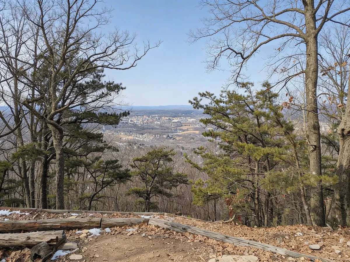
Mount Nittany is the ridge that rises east of State College, and its best-known view, Mike Lynch Overlook, looks across Happy Valley to the Penn State campus and Beaver Stadium. The Mount Nittany Conservancy, an all-volunteer nonprofit, protects nearly 1,000 acres on the mountain and maintains more than 8 miles of trails.
Key Takeaways
- Trailhead: 500 Mount Nittany Road, Boalsburg, at the top of Mount Nittany Road above Lemont (Google Maps | Apple Maps)
- Mike Lynch Overlook: 0.6 mile from the trailhead; the short loop is 1.2 miles, about 1 to 1.5 hours
- Full loops: White Trail 3.5 miles, Blue Trail 4.6 miles
- Climb: about 650 feet, from roughly 1,350 feet at the trailhead to about 2,000 feet on top
- Rules: foot travel only; no fires or camping; hunting is permitted in season
Getting There and Parking
From Pike Street, the main street in Lemont, take Mount Nittany Road uphill to its end. The Conservancy lists the trailhead at 500 Mount Nittany Road, Boalsburg. Parking is along Mount Nittany Road on the approach, and the Conservancy has added a signed overflow lot west of the trailhead. Parking can fill on nice weekends, so arrive early or have a backup plan.
There are no trash cans on the trails. Carry out everything you bring.
The Trails
The Conservancy maintains two blazed loops that share the climb from the trailhead and the ridgetop. Numbered markers along the way identify the overlooks.
| Route | Distance | Time | What you get |
|---|---|---|---|
| To Mike Lynch Overlook and back | 1.2 miles | 1 to 1.5 hours | The campus and stadium view |
| White Trail loop | 3.5 miles | about 3 hours | Mike Lynch plus more overlooks |
| Blue Trail loop | 4.6 miles | about 3 to 3.5 hours | The perimeter of the mountain, with views on all sides |
The Climb
The slopes are steep and rocky, and the soil on them is loose sand and shale that erodes easily. Stay on the blazed trails: old, unmaintained paths run straight up and down the slope, and the Conservancy asks hikers not to use them. Once you reach the top, the ridge is relatively flat.
Mike Lynch Overlook
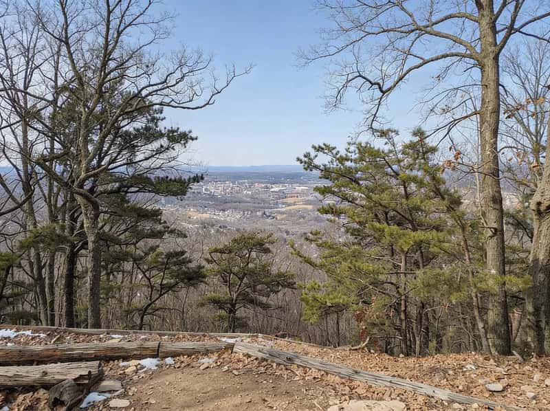
At marker #3, about 0.6 mile in, Mike Lynch Overlook faces west over State College. This is the classic view: the campus, Beaver Stadium and the Bryce Jordan Center laid out across the valley. If you only have an hour, hike here and back.
The Other Overlooks
The loops pass several more named overlooks. The Conservancy lists:
- Boalsburg and Mt. Nittany Middle School Overlook (marker #4)
- Little Flat Overlook (marker #7)
- Penns Valley Overlook (marker #8), facing southeast
- Tom Smyth Overlook (marker #9)
The Blue Trail circles the whole mountain, so it adds views to the north and northwest toward the Spring Creek water gap and Bellefonte. The Conservancy’s map shows which overlooks each loop passes; check it before you choose.
Rules
From the Mount Nittany Conservancy:
- Foot travel only. No bicycles, horses or motorized vehicles, including ATVs.
- No fires, campfires or overnight camping.
- Hunting is permitted on Conservancy land, and hiking is allowed during hunting season. Wear blaze orange in the fall. Pennsylvania prohibits most Sunday hunting.
- Dogs: the Conservancy has no formal dog rule and points to Pennsylvania’s Dog Law, which requires dogs to be under reasonable control. A leash is the simple way to meet it on a busy trail.
- Carry in, carry out.
- Leave No Trace, and stay on the blazed trails.
What to Bring
- Shoes with grip: the climb is rocky and steep, and loose soil slides when dry or wet
- Water: there is none on the trail
- Blaze orange during hunting seasons
- The Conservancy trail map on your phone, downloaded before you go
More Hiking Near State College
The Central PA hiking guide covers Rothrock State Forest, Shingletown Gap, the Mid State Trail and Black Moshannon, all within a short drive of State College.
FAQ
How long is the Mount Nittany hike? To Mike Lynch Overlook and back is 1.2 miles. The White Trail loop is 3.5 miles, and the Blue Trail loop is 4.6 miles.
How hard is Mount Nittany? Moderate. The climb is short but steep and rocky, about 650 feet. The top is relatively flat.
Where do you park for Mount Nittany? Along Mount Nittany Road on the approach to the trailhead at 500 Mount Nittany Road, or in the signed overflow lot west of the trailhead.
Which trail goes to Mike Lynch Overlook? Both loops start on the same climb. The overlook is at marker #3, about 0.6 mile from the trailhead.
Are dogs allowed on Mount Nittany? Yes. The Conservancy has no formal dog rule beyond Pennsylvania’s requirement that dogs be under reasonable control.
Can you hunt on Mount Nittany? Yes, hunting is permitted on Conservancy land in season, and the trails stay open. Wear blaze orange.