Trails
Browse Pennsylvania hiking trail guides by difficulty and region, with distance, parking GPS, safety notes, and what to expect before you go.
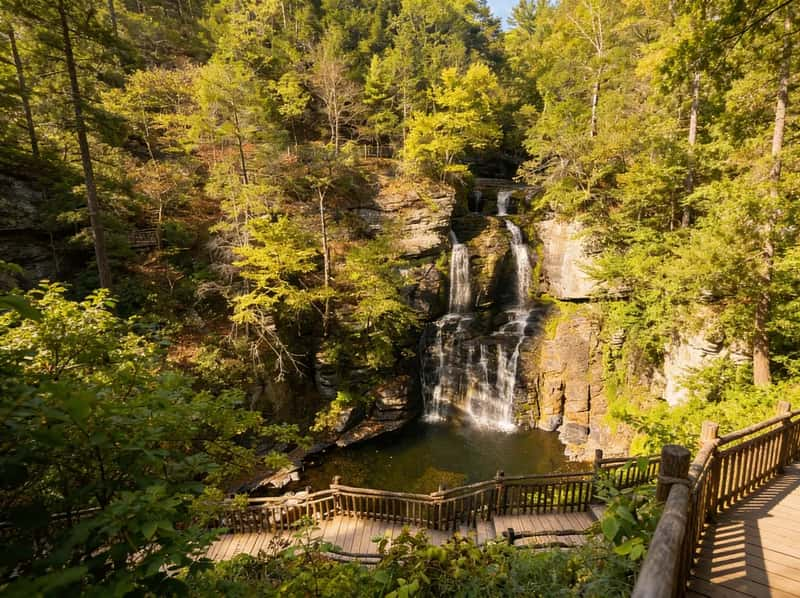
Bushkill Falls: $22 & 1,267 Stairs (Which Trail?)
Four trails, eight waterfalls, one admission. Here's which trail to do (and how to avoid the crowds).
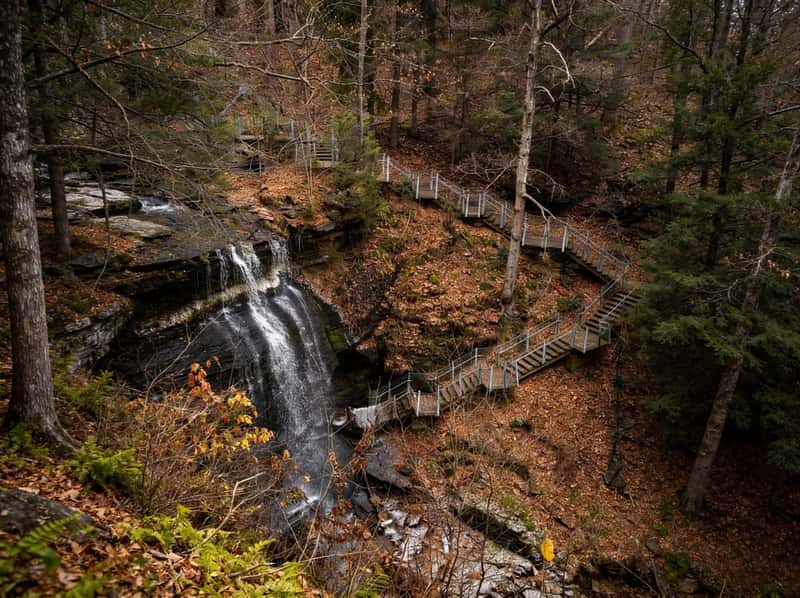
The 5 Buttermilk Falls of PA: Which One Do You Actually Want?
Google Maps will route you to five different counties if you search for Buttermilk Falls in Pennsylvania. Here is exactly how to tell them apart and which to visit.
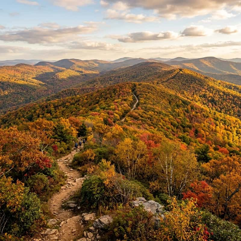
Capital Area Greenbelt Harrisburg: Complete 20-Mile Loop Guide
Twenty miles of connected trail looping around Pennsylvania's capital city. Best hiked in segments, the Greenbelt strings together Harrisburg's parks, wetlands, and riverfront into a surprisingly diverse urban trail system.

Visiting Centralia PA: What's Actually Left
Graffiti Highway is buried. Here is exactly what remains of the PA abandoned town today, how to park legally, and whether it's worth the drive.
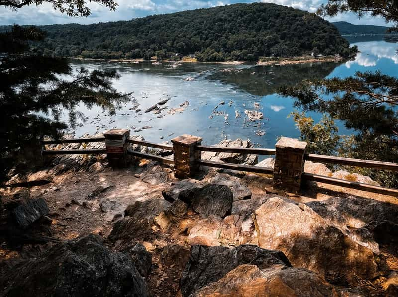
Chickies Rock Overlook Trail Guide: Best Sunset Hike Near Columbia, PA
100-foot drop to the Susquehanna River, free parking, and 1 mile of walking. Chickies Rock is the most accessible viewpoint in South Central PA and the go-to sunset hike near Columbia.
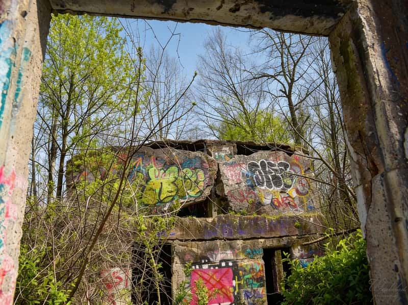
Concrete City Nanticoke PA: The Complete Guide to PA's Poured-Concrete Abandoned Town
Built as model 1911 housing for colliery workers, occupied for just 11 years: the full guide to PA's poured-concrete abandoned town.
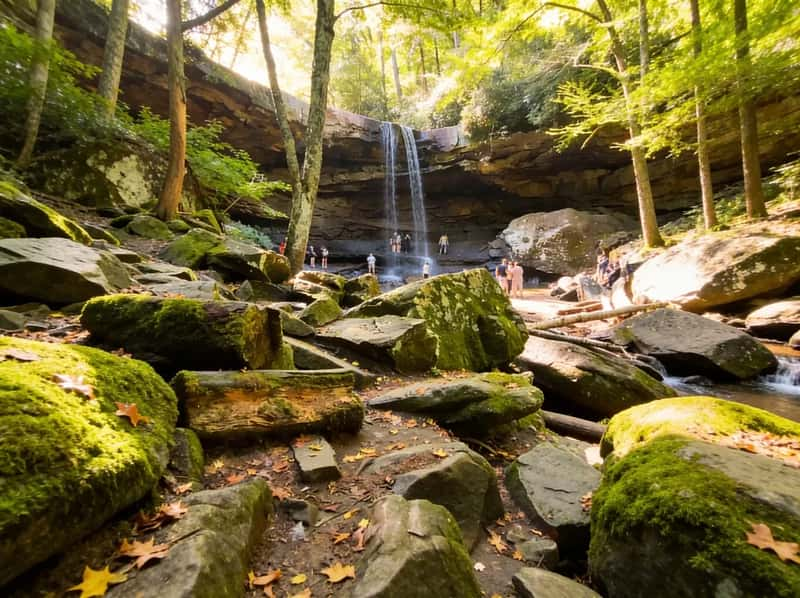
Cucumber Falls: The Instagram Stop vs. The Actual Hike
0.2 miles or 2.8 miles? Here's how to see the falls, walk behind them, and avoid the parking chaos at Ohiopyle's most photographed waterfall.
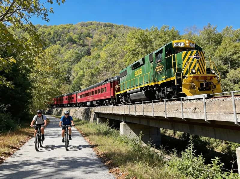
D&L Trail (Lehigh Gorge): 26 Miles Downhill
The classic shuttle-and-bike route from White Haven to Jim Thorpe. It's a 2% downhill grade, but the wind usually has other plans.
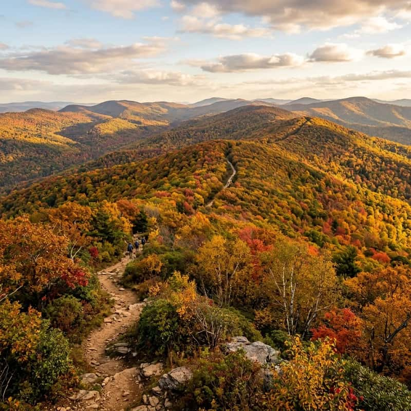
Detweiler Park Harrisburg: Quiet Trails with Serious Elevation
411 acres, zero crowds, and a 500-foot climb on the Meade's Mountain Loop. Detweiler Park is a quiet alternative to the busier Harrisburg-area ridge hikes.
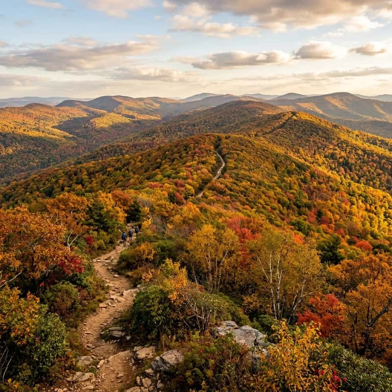
Dog-Friendly Hiking in PA: A Field Guide
Find the best dog-friendly hiking trails in Pennsylvania. Learn PA leash laws, terrain ratings for different dog sizes, tick prevention, and post-hike dog breweries.
Duncannon Hiking Guide: Hawk Rock & Cove Mountain
The classic Appalachian Trail town hike. Hawk Rock delivers the premier Susquehanna River view in 2 miles. Cove Mountain Preserve offers quieter ridges and a Statue of Liberty replica you can spot from the river side.
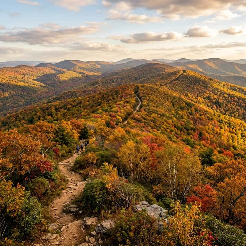
Dutchman Falls & The Haystacks: The Complete Loyalsock Itinerary
Don't just hike 0.6 miles to the waterfall and leave. Continue another two miles on the Loyalsock Trail to reach The Haystacks for the best swimming holes in Sullivan County.