Trails
Browse Pennsylvania hiking trail guides by difficulty and region, with distance, parking GPS, safety notes, and what to expect before you go.
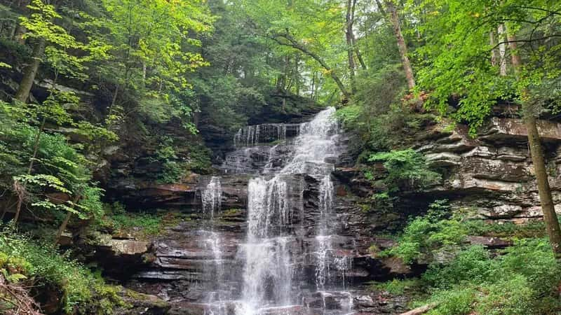
Falls Trail at Ricketts Glen: The Complete Hiker's Guide
Counter-clockwise route, 21 named waterfalls, and the 3.2-mile shortcut. How to hike Pennsylvania's best waterfall trail without ending up in a rescue story.
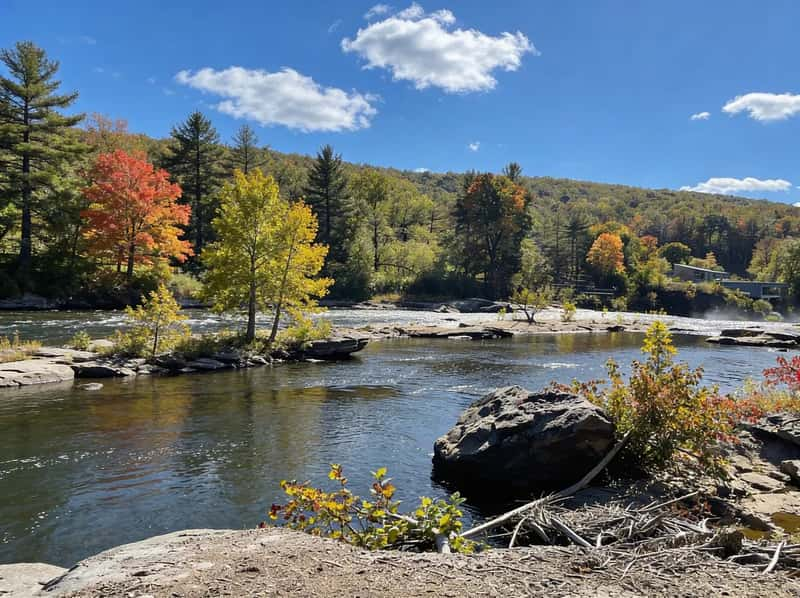
Ferncliff Peninsula Trail: How to Find the Fossils in Ohiopyle
The sandstone ledges at the river's edge are covered in 300-million-year-old plant fossils. Here is exactly where to find them and how to hike the full loop.
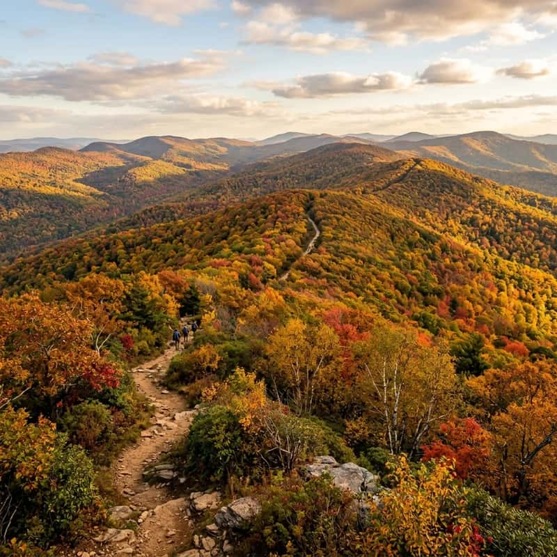
Freedom Falls PA: 20-Foot Waterfall & 1832 Iron Furnace Hiking Guide
Navigate the unmarked dirt road to reach Freedom Falls in Venango County: a 20-foot waterfall spanning Shull Run's full width, plus the National Register Rockland Furnace ruins. Parking coordinates, seasonal tips, and gear guidance included.
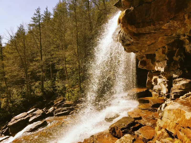
Glen Onoko Falls: PA's Most Famous Closed Trail (And What to Do Instead)
Closed since 2019. Eight fatalities. Here's why the Falls Trail shut down, what the fines are, and what the Overlook Trail actually offers as a substitute.
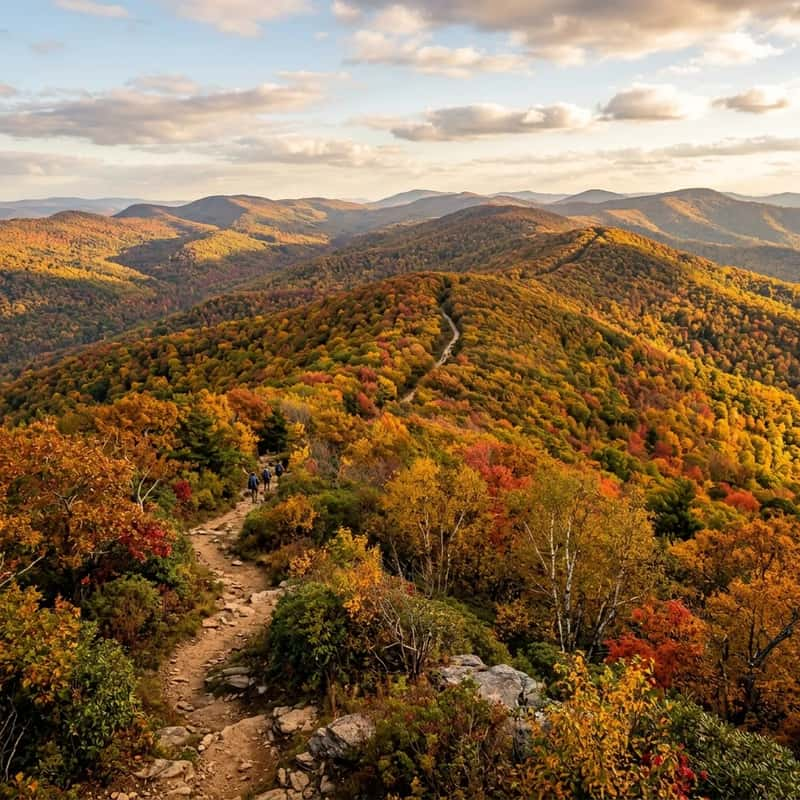
Governor Dick Mt. Gretna: Tower Views & Boulders
A 1.5-mile hike to a 66-foot observation tower with panoramic five-county views. Plus the Jigger Shop, the ice cream stop many hikers make afterward.
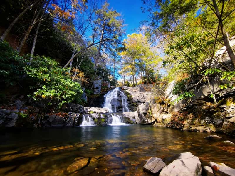
Hawk Falls Trail: Short, Sweet, and Slammed
1.2 miles, rhododendron tunnels, and a 25-foot waterfall. Here's the parking strategy, swimming rules, and how to beat the crowds at Hickory Run's most popular trail.
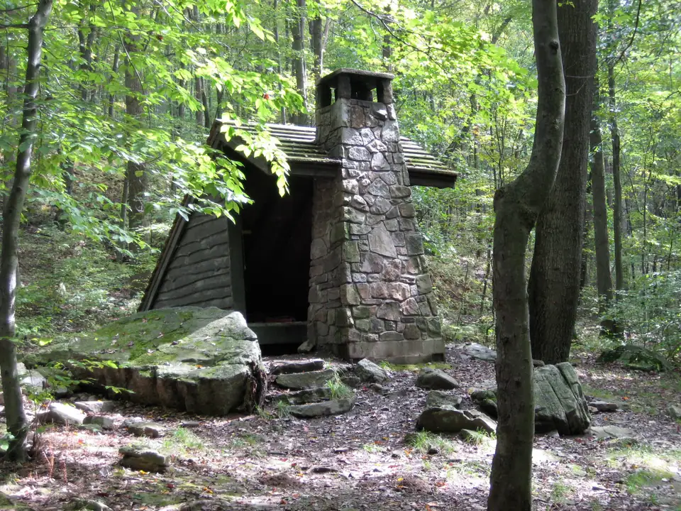
Laurel Highlands Hiking Trail: Shelters, Mileage & Planning Guide
A 70-mile point-to-point trail from Ohiopyle to Seward with eight shelter areas. Here's the mileage, how reservations work, and what to plan before you go.
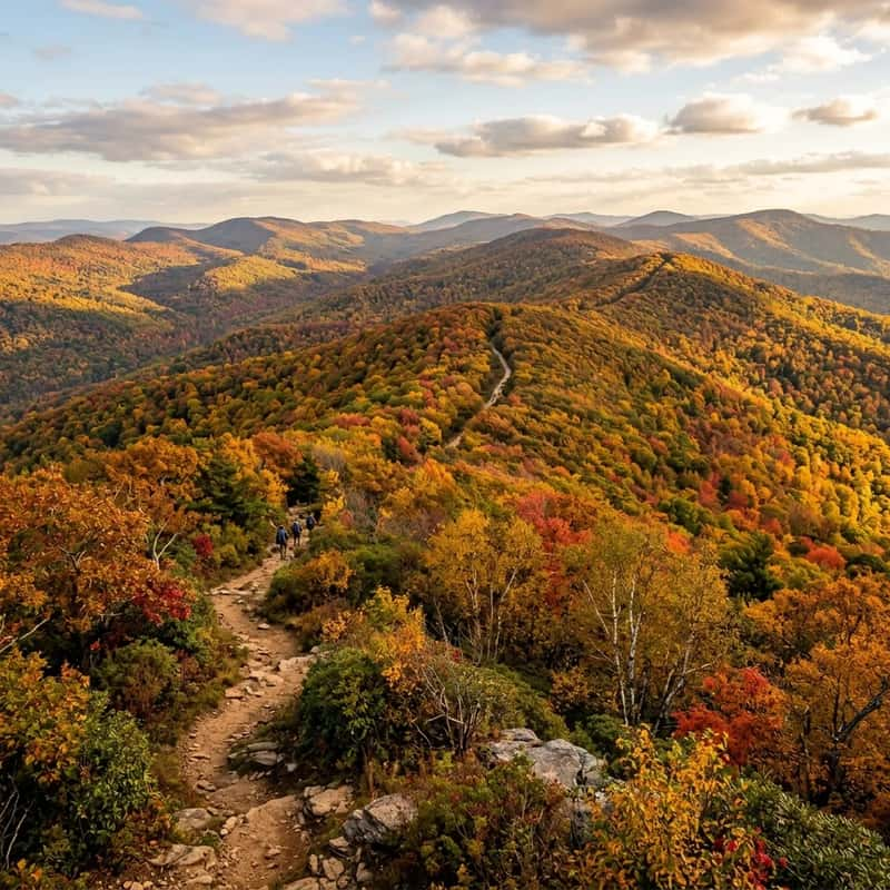
Meadow Run Waterslides: The Real Ohiopyle Parking & Sliding Guide
The natural waterslides in Ohiopyle are popular, but the parking lot holds 20 cars. Here is the exact GPS and the backup plan you need to avoid a ticket.
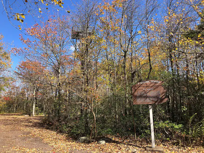
Mount Davis: Visiting Pennsylvania's Highest Point (3,213 Feet)
Mount Davis in Forbes State Forest is Pennsylvania's highest point at 3,213 feet. You can drive almost to the top, climb the observation tower, or hike the High Point Trail from the picnic area.
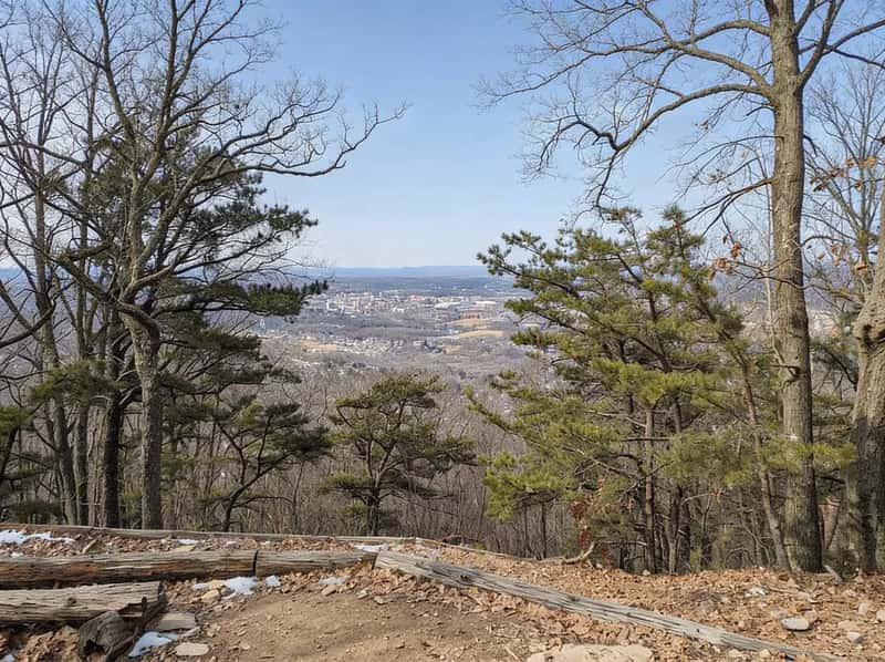
Mount Nittany Trails: Mike Lynch Overlook, Blue and White Loops
Mount Nittany above State College: the 0.6-mile climb to Mike Lynch Overlook, the 3.5-mile White and 4.6-mile Blue loops, parking on Mount Nittany Road, and the rules.
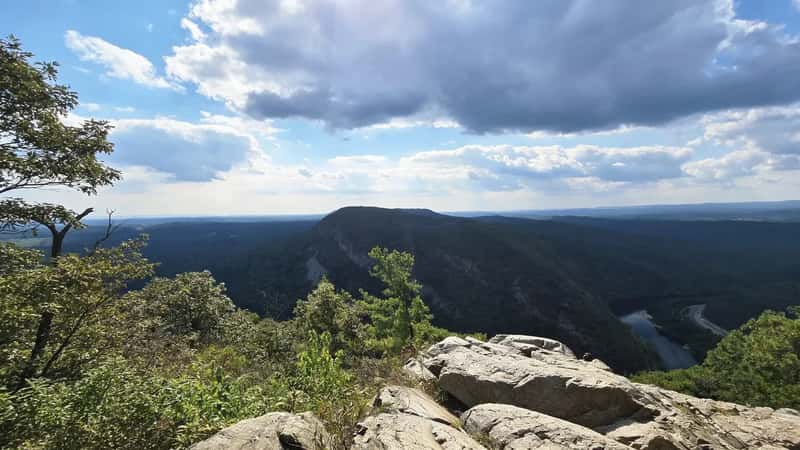
Mount Tammany Loop: The Parking Lottery (And How to Win It)
Red Dot scramble, Blue Blaze descent, and the real parking situation at one of the best views in NJ/PA. Everything you need before you go.
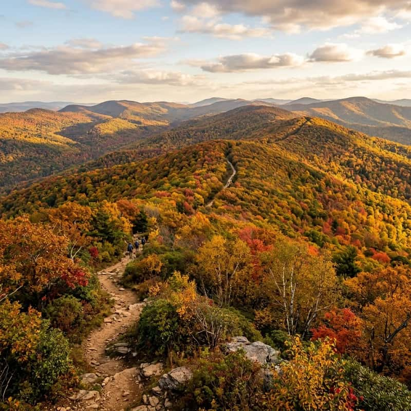
Peters Mountain: Harrisburg's Rocksylvania Technical Challenge
A strenuous 4-mile loop with 900+ feet of gain, sharp shale scrambles, and railroad crossings.